A documentary regarding communications sent from the future via advanced nano technology, quantum wormholes, exotic matter and the practice of receiving and interpreting these signals.
SECRETS FROM THE FUTURE from Dustin Wilson on Vimeo.
SECRETS FROM THE FUTURE from Dustin Wilson on Vimeo.
When finished these maps will serve as a didactic tool for the understanding of population density/migration, climate, wildlife habitat and transportation in small communities in the not too distant future.
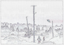
 Here we see the Bai des Chaleur, in northern New Brunswick. Specifically: Bathurst NB, I find myself nonplussed in the knowledge that my parents' home will be completely submerged within 500 years.
 Below we see the bay of Fundy/Tantramar Marsh area, the lower right hand portion of the image being the lowland marsh with the dense sea level activity, bad news for Sackville and Amherst . The left area of the map being the Fundy region which has the highest tides in the world; alot of cliffs, so not alot of action there.
 Note the sea level/fauna/time correlation in the color coding.
 Below we have a portion of the Petitcodiac River. Interestingly, this part of the river which goes through Mocton and Riverview got turned into a muddy tidal shit hole when a causeway went in in the 1990s. This map shows that within the next 200 years the causeway will be overwhelmed and the river will be back to it regular flow, its just a bit constipated now.
 Note the junction points for the SV-2 transportation system.
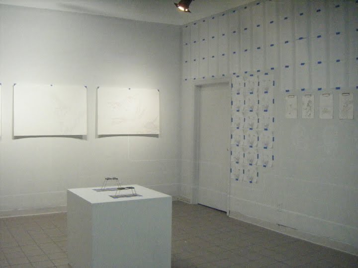


 These three large maps(shown above) are in fact space-time diagrams depicting various regions of New Brunswick. I will be posting more detailed images of these shortly.
  Shown above is my first foray into stereo drawtogarphy, a superb method for futurological investigation.


